
Trail " walks Verel de Montbel"
Description
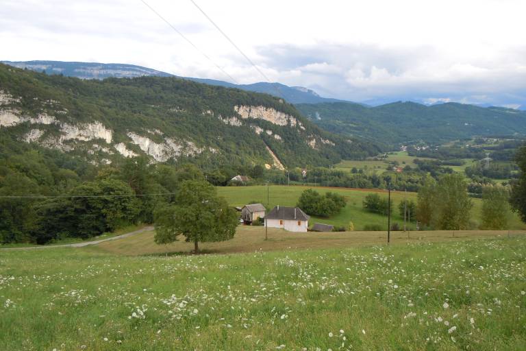
This hiking trail, easy level, borrows rural roads and allows the discovery of our landscapes. In the heart of rural areas , this trail takes you to the discovery of agriculture still present.
Marking
The Bajat circuit : follow the signs in the direction of the "pont du Français" (on the Thiers river). When you reach the "pont des Français" at the bottom,the path goes back up the hill trough a humid, shady area. After the road from Bajat and the path alongside the motorway, the route goes along a pleasant country road back to Verel.
The circuit of Beaugeru : Having crossed the motorway the small road goes past le Niveau end plunges into woods. Coming out of the woods there is a magnificient view of the Guiers valley, the Chartreuse mountains and the Banchet cliffs. Having passed under the motorway, take the little route to the right which leads to the starting point, passing in front of the cemetery (water point).